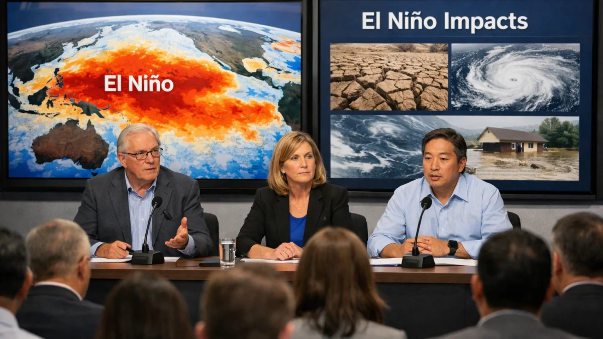
GENEVA — Meteorologists are forecasting the development of El Niño conditions in the tropical Pacific, with expectations of increased risks of extreme heat, flooding in some regions and droughts in others as the weather pattern strengthens later in 2026.
The World Meteorological Organization stated there is an 80 percent likelihood of El Niño emerging between June and August 2026, with high probabilities it will persist into 2027. The U.S. National Oceanic and Atmospheric Administration has issued an El Niño advisory, noting conditions are present and expected to strengthen.
El Niño events involve warmer-than-average sea surface temperatures in the central and eastern equatorial Pacific, which can alter global atmospheric circulation. Forecasters indicate this event could reach moderate to very strong intensity, potentially among the stronger ones on record.
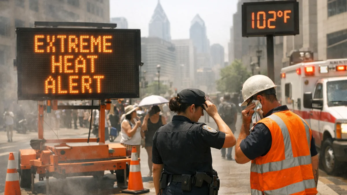
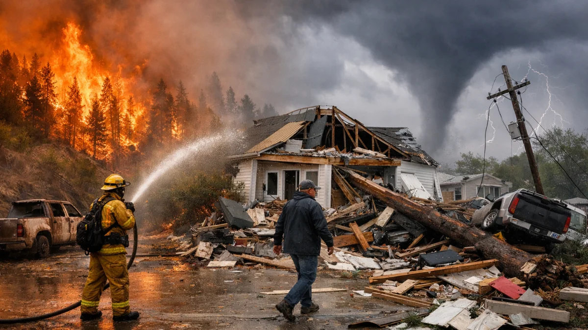
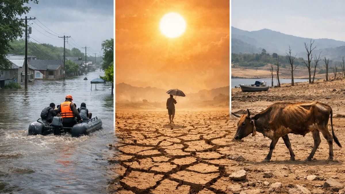
Typical impacts include higher global temperatures, with some models suggesting risks of record warmth in 2027. Regions such as parts of South America, the southern United States and East Africa may see increased rainfall and flooding, while Australia, Indonesia and parts of southern Asia could face drier conditions and heightened drought and wildfire risks.
“Advanced forecasts help in preparations to protect lives and livelihoods,” the WMO said in its latest update.
The pattern is also expected to influence tropical cyclone activity, with forecasts for a below-average Atlantic hurricane season due to increased wind shear. In contrast, some Pacific regions could experience more active storm patterns. Details on the exact strength and regional impacts remain subject to evolution as the event develops.
Agriculture, water resources and food security are among the sectors at risk. Drought-prone areas may face reduced crop yields, while flood risks could disrupt infrastructure and communities. Fisheries in the Pacific are also typically affected by shifts in ocean conditions.
Climate change is expected to amplify some effects of El Niño, as a warmer baseline increases the energy available for extreme weather. However, there is no evidence it changes the frequency of such events.
As of mid-June 2026, monitoring agencies continue to track sea surface temperatures and atmospheric indicators. Preparations are underway in vulnerable countries, including enhanced early warning systems and contingency planning for water management and disaster response.
The WMO and national meteorological services urged governments and communities to use the forecasts for informed decision-making. Further updates on the developing El Niño are expected in the coming months as conditions evolve.