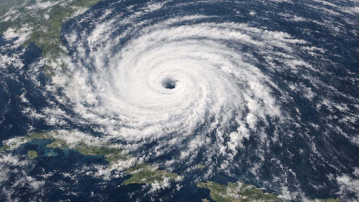
MIAMI — Tropical Storm Andrea formed in the central Atlantic Ocean on Wednesday, becoming the first named tropical cyclone of the 2026 Atlantic hurricane season, according to the U.S. National Hurricane Center (NHC).
The storm developed from a low-pressure system several hundred miles east of Bermuda, the NHC said in an advisory issued Wednesday morning. Forecasters reported that Andrea had acquired sufficient organization and sustained winds to be classified as a tropical storm, marking the first named system of the Atlantic season, which officially began on June 1.
In its latest advisory, the NHC said Andrea was moving generally northeastward over open waters and was not posing an immediate threat to land. The center said the storm was expected to remain over the central Atlantic and was forecast to encounter less favorable environmental conditions during the coming days.
“Additional strengthening is not anticipated,” the National Hurricane Center said in its forecast discussion, adding that gradual weakening was expected as the system moved into cooler waters and areas of stronger wind shear.
Meteorologists noted that Andrea’s formation occurred after a relatively quiet start to the Atlantic hurricane season. The Atlantic basin typically experiences its first named storm around mid-June, according to historical averages maintained by the U.S. National Oceanic and Atmospheric Administration (NOAA).
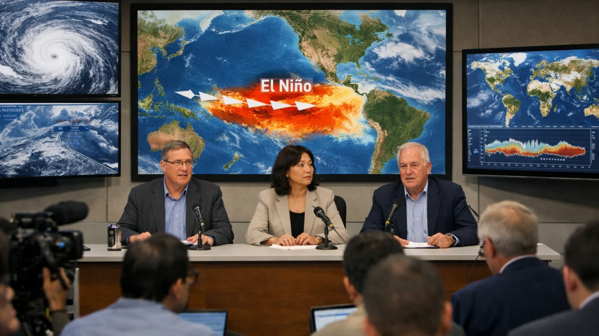
NOAA and other forecasting agencies had previously projected an above-average 2026 Atlantic hurricane season, citing warmer-than-normal ocean temperatures and other atmospheric conditions that can support tropical cyclone development. However, forecasters have repeatedly emphasized that seasonal outlooks do not predict the timing or location of individual storms.
Emergency management officials in coastal regions continued to encourage residents to maintain hurricane preparedness plans despite Andrea’s expected track away from populated areas. The U.S. Federal Emergency Management Agency and weather authorities have advised communities in hurricane-prone areas to monitor official forecasts throughout the season.
The Atlantic hurricane season runs through Nov. 30 and typically reaches peak activity between August and October. Named storms are monitored for potential impacts including strong winds, heavy rainfall, coastal flooding and dangerous surf conditions.
As of Wednesday afternoon, no coastal watches or warnings were in effect in connection with Tropical Storm Andrea, according to the National Hurricane Center. Forecasters said the storm was expected to remain over the open Atlantic and gradually weaken. Officials reported no injuries, damage or disruptions associated with the system, and no land areas were forecast to experience significant effects from the storm in the near term.
The National Hurricane Center said it would continue issuing regular advisories while Andrea remains an organized tropical cyclone.