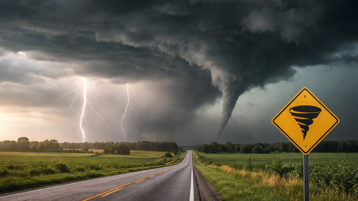
CHICAGO — Severe thunderstorms with a risk of tornadoes, large hail and damaging winds threatened parts of the Upper Midwest on Saturday, as the National Weather Service’s Storm Prediction Center monitored developing storms across the region, forecasters said.
The Storm Prediction Center issued an outlook highlighting the potential for scattered strong to severe thunderstorms capable of producing damaging winds and hail, with an isolated tornado threat in portions of the Upper Midwest and adjacent areas. A cold front advancing through the region was expected to trigger thunderstorm development, officials said.
Earlier on Friday, April 17, the SPC had placed parts of central and eastern Iowa, northern and west-central Illinois, southeast Minnesota, far northeast Missouri, and central and southern Wisconsin under an enhanced risk of severe weather. A Tornado Watch was issued for those areas, citing a highly unstable environment ahead of the cold front. The watch expired late Friday evening.
Forecasters noted that discrete supercells could form, bringing risks of large hail, strong wind gusts and a few tornadoes, before storms potentially organized into lines capable of widespread damaging winds. Some models suggested gusts could reach 70 mph or higher in the strongest storms, though exact outcomes depended on storm evolution.
The Upper Midwest has seen repeated rounds of severe weather in recent days, with multiple tornadoes confirmed across Minnesota, Iowa, Wisconsin and other states earlier in the week. Those storms caused property damage, including to homes and farms, but specific casualty figures from prior events were not immediately detailed in Saturday updates.
Residents in affected areas, including cities such as Madison, Wisconsin; Cedar Rapids and Davenport, Iowa; and parts of the Twin Cities metro in Minnesota, were urged to monitor weather alerts. Local National Weather Service offices advised having multiple ways to receive warnings, including NOAA weather radios.
“As storms develop this afternoon and evening, the primary threats include damaging winds, hail, and a possible tornado or two,” a forecaster with the NWS office covering parts of the region stated in a public update.
As of Saturday afternoon, details on any confirmed severe weather reports, including tornado touchdowns or significant damage from the day’s storms, remained limited. The SPC continued to monitor the situation, with the severe threat expected to shift eastward later in the day. Residents were advised to stay informed through local authorities and avoid travel in affected areas if warnings were issued.