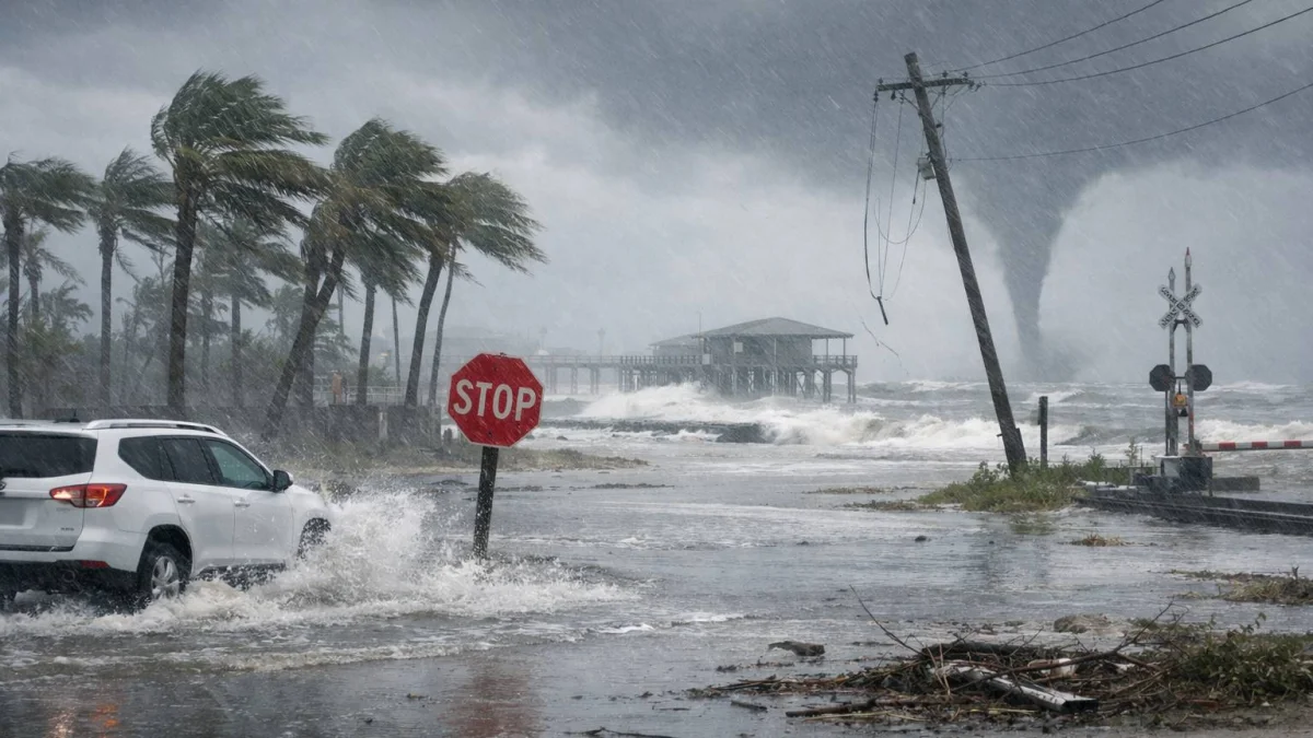
MIAMI — Tropical Storm Arthur continued to pose flooding and severe weather threats across parts of the U.S. Gulf Coast and into portions of the Midwest on Saturday, even after weakening from a tropical system, with forecasters warning of heavy rainfall, flash flooding and possible tornadoes across several states.
The U.S. National Hurricane Center (NHC) said Arthur became the first named storm of the 2026 Atlantic hurricane season after forming near the Texas coast on Wednesday. The storm made landfall along the upper Texas coast before rapidly weakening, but forecasters said its remnants continued to carry significant moisture inland.
“The main threat from Arthur is going to be a prolonged, multiday, heavy rainfall event that could produce dangerous to life-threatening flash flooding,” NHC Director Michael Brennan said during a briefing earlier in the week.
According to the NHC, Arthur brought sustained winds of about 40 to 45 mph (65 to 72 kph) when it reached tropical-storm strength near the middle Texas coast. Tropical storm warnings were issued for portions of Texas and Louisiana before being lifted after the system weakened.
Forecasters said the greater concern remained rainfall rather than wind. The NHC and National Weather Service warned that parts of Texas, Louisiana, Mississippi, Alabama, Georgia and the Florida Panhandle could receive several inches of rain, with isolated areas seeing substantially higher totals. Flood watches and flash-flood warnings were issued in multiple jurisdictions during the week.
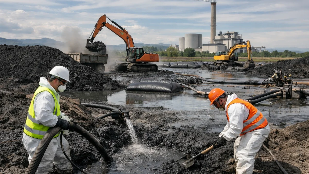
The remnants of Arthur also contributed to severe weather conditions farther inland. Weather officials warned of thunderstorms capable of producing isolated tornadoes across portions of the Southeast, while separate storm systems brought damaging weather to parts of the Midwest. Reports of power outages and storm damage emerged from several Midwestern states, although officials said assessments were continuing and details remained unclear in some areas.
State and local emergency agencies urged residents to avoid flooded roads and heed evacuation or safety guidance where issued. Energy companies and operators of Gulf Coast infrastructure also monitored the storm's effects as heavy rain moved across the region.
As of Saturday, the NHC said the remnants of Arthur had merged with a frontal system offshore of the U.S. East Coast and were not expected to redevelop into a tropical cyclone. However, forecasters said heavy rainfall and localized flooding risks could persist in some areas as moisture associated with the former storm continued moving northeastward.