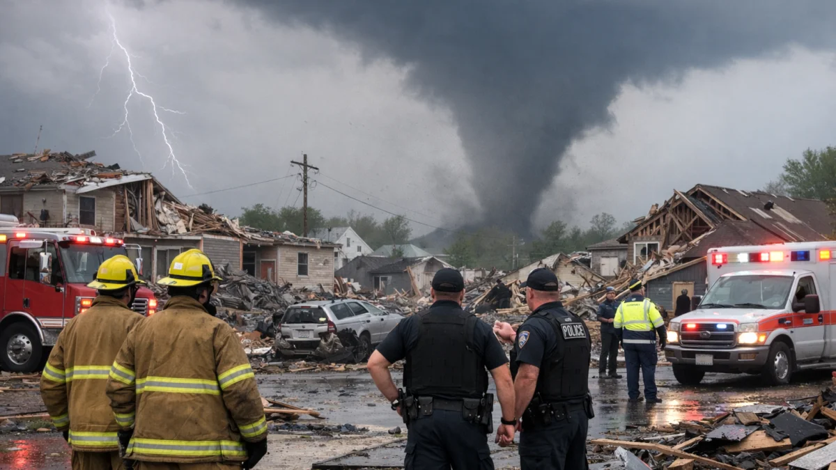
MIAMI — Meteorologists on Saturday continued to monitor tropical weather systems and disturbances across the Atlantic basin and Gulf region for any signs of development that could affect coastal areas in the coming days, according to the U.S. National Hurricane Center (NHC). While no named tropical cyclones were active in the Atlantic as of late Friday, forecasters said several tropical waves and a broad area of low pressure remained under observation.
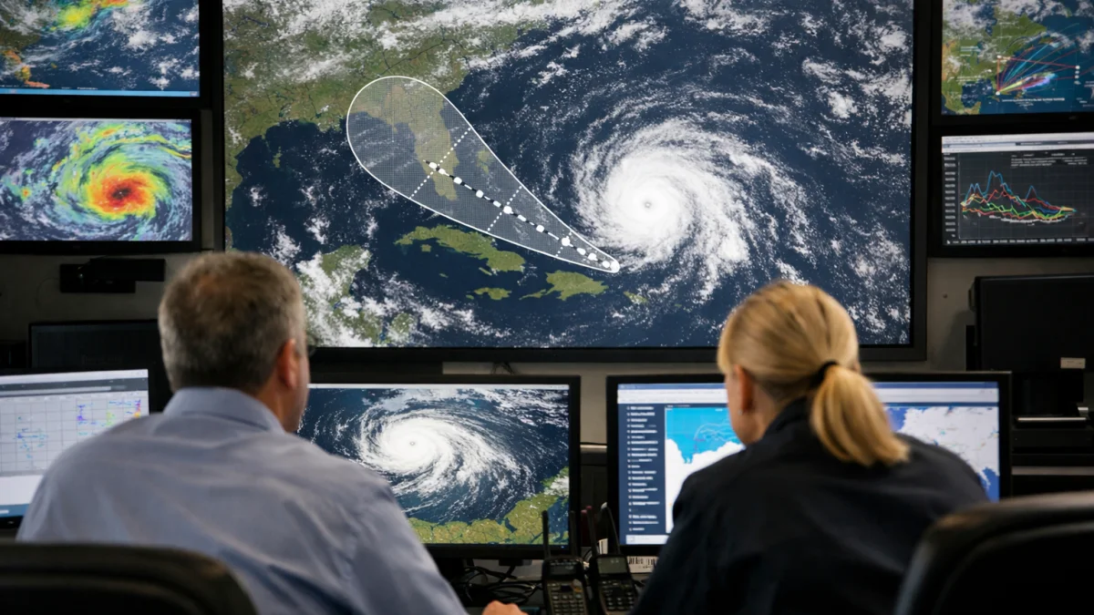
The NHC said a broad low-pressure area over the Bay of Campeche was producing disorganized showers and thunderstorms as it moved west-northwestward. The agency assessed the system's chances of tropical cyclone formation as low over both the short and medium term. According to the NHC's Tropical Weather Outlook, environmental conditions were expected to be only “marginally conducive for development” before the system moved inland over eastern Mexico.
Forecasters also reported tropical waves moving westward across portions of the Atlantic, including areas in the far eastern tropical Atlantic and central Atlantic. The systems were associated with scattered convection but showed no significant signs of organization, according to weather monitoring summaries published on Friday.
The monitoring comes less than two weeks after the official start of the 2026 Atlantic hurricane season on June 1. NOAA has forecast a below-normal Atlantic season this year, citing large-scale climate conditions that are expected to suppress storm formation in parts of the basin. Officials have nonetheless urged residents in hurricane-prone areas to remain prepared throughout the season.
Elsewhere, tropical activity has been more active in the eastern Pacific. Tropical systems including Boris and Cristina brought heavy rainfall to parts of Mexico and Central America earlier this month, prompting warnings about flooding and landslides. However, those storms remained outside the Atlantic basin.
Weather agencies and local forecasters have also been watching increased tropical moisture in portions of the Gulf of Mexico, which could contribute to periods of heavy rain in parts of the U.S. Gulf Coast regardless of whether a tropical cyclone forms. Some local forecasts have highlighted a risk of localized flooding next week.
“The system could re-emerge over the northwestern Gulf on Tuesday and Wednesday,” the National Hurricane Center said in its latest outlook, while noting that conditions would remain only marginally favorable for development.
As of Saturday, no tropical storm warnings or hurricane warnings were in effect for the Atlantic basin, and the National Hurricane Center said no active tropical cyclones were present in the region.