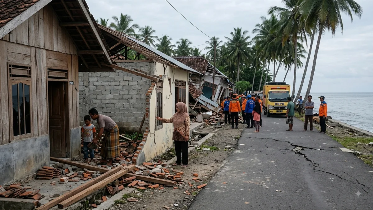


JAKARTA — A powerful magnitude 7.7 earthquake struck off Indonesia’s Flores region early Saturday, prompting Indonesia’s Meteorology, Climatology and Geophysics Agency (BMKG) to issue a tsunami warning for parts of the country, while there were no immediate reports of casualties or major damage.
The U.S. Geological Survey said the earthquake struck at 5:58 a.m. local time at a depth of about 10 km (6.2 miles), with its epicentre about 68 km (42 miles) north-northwest of Ende in East Nusa Tenggara province.


BMKG initially reported the earthquake as magnitude 7.7 and warned of possible tsunami waves, placing several coastal areas in East Nusa Tenggara, South Sulawesi and neighbouring provinces under warning status. The agency urged residents to stay away from beaches and riverbanks and move to higher ground.
The earthquake was followed by several strong aftershocks, including events measured at magnitudes 5.6, 5.9 and 6.1, according to seismic monitoring data cited by the USGS.
BMKG separately reported another magnitude 6.2 earthquake at 5:13 a.m. local time northeast of Labuan Bajo, also at a depth of 10 km.
Authorities were continuing to monitor the situation and assess any impacts. No confirmed casualty or damage figures had been reported in the initial updates.